Tk 600 Crore Satellite Surveillance Planned to Rescue Fishermen in Distress at Deep Sea
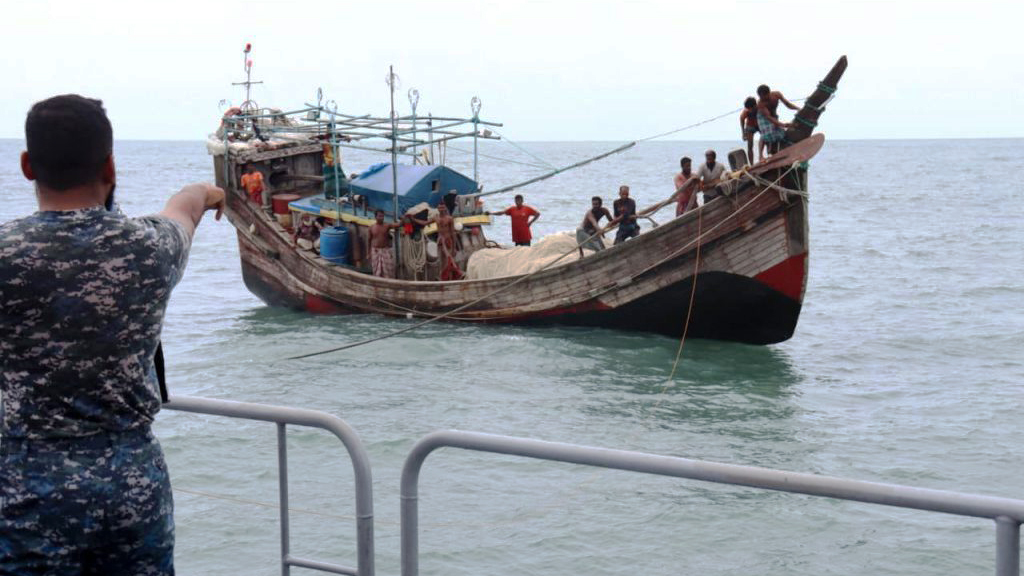
The government has planned to build a satellite-based surveillance system to quickly locate and rescue fishermen who fall into danger in the deep sea due to storms or mechanical failures. Once the system is in place, the exact position of a vessel in distress can be known instantly.
Bangladesh Satellite Company Limited (BSCL) has taken the initiative to deploy satellites equipped with Automatic Identification System (AIS) technology at a cost of around Tk 600 crore.
Officials said the target is to launch the service by 2028. The system is expected to play a major role in strengthening maritime security across the Bay of Bengal region and in the sustainable management of fisheries resources.
According to BSCL officials, Bangladesh's maritime area covers 118,813 square kilometres. Maintaining regular surveillance over this vast area is currently a major challenge.
To overcome this, four Low Earth Orbit (LEO) satellites, two ground stations and the country's own server infrastructure will be built. This will make it possible to store sensitive data on vessel movements within the country and reduce dependence on foreign third parties.
Bangladesh's first satellite, Bangladesh Satellite-1, is mainly used for telecommunications and broadcasting. The proposed new system will ensure a maximum revisit time of 30 minutes across the Bay of Bengal, meaning any given area can come under satellite observation again within half an hour at most.
When fishing vessels go far from the coast into the deep sea, they usually move beyond mobile network coverage. As a result, when a vessel goes missing in a storm or an accident, the Navy and the Coast Guard have to conduct searches for a long time to find it.
Under the new technology, the exact position of AIS-equipped vessels will be known instantly, which officials believe will make rescue operations far faster.
According to BSCL's initial estimates, if vessel routes can be planned precisely, unnecessary movement will decrease and a vessel could save up to 150 litres of diesel on each trip. Nationally, this could save a total of around 4.5 crore litres of fuel a year.
Once the system is launched, a long-term database will be created showing how many vessels go to which areas, when fishing takes place and whether any vessel is violating designated boundaries. Officials said this will help prevent illegal and excessive fishing.
Officials have clarified, however, that AIS technology does not directly detect the location of fish under the sea; it reports the position and identity of vessels. They believe that if AIS data is combined with remote sensing technology analysing water temperature, chlorophyll and ocean currents, a new horizon of modern fishing could open up in the Bay of Bengal in the future.
Highlighting the importance of the project, BSCL Managing Director Dr Muhammad Imadur Rahman said, 'The Bay of Bengal is an extremely important economic resource for Bangladesh. To protect it and ensure maritime security, building a technology-based surveillance system is essential.'
He added, 'We want to build a system where important data on marine resources and vessels can be managed through the country's own satellites and servers. This is not merely a technological initiative, but a major step towards protecting fishermen's safety and maritime sovereignty.'
A feasibility study of the project is currently under way. BSCL said construction of the main infrastructure will begin once the technical design, financing and the selection of the satellite manufacturer are finalised.